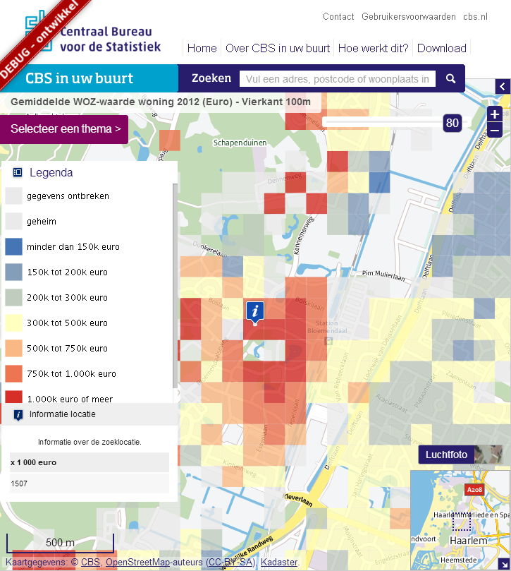
The past months I’ve been busy developing a web mapping application together with Statistics Netherlands to replace their current offerings of web mapping such as CBS in uw Buurt which have various accessibility issues and has Google looking in over your shoulder. The new application can be used with both the keyboard and a mouse and and will fallback to a non CSS and/or non Javascript version if needed (or requested) by the user providing a much better and safer experience.
Key features of the application are:
- open standards based interfaces WMS, WMTS, OpenLS LUS and WCAG
- easy modification using maven war overlay techniques (as an example you can look into the NOK viewer project on Github
- easy to localize using property files / resource bundles for all the text
- easy to configure thematic maps using a set of xml files
- easy styling adjustments using Sass and modular CSS
The project builds on well documented, well supported and proven open source libraries such as GeoTools, OpenLayers, jQuery and jQuery UI.
We’re not quite there yet but you can follow the progress of the project through the Github site
This post was previously published on GISpunt.